The Gréber Plan: The 1950 Vision That Decided Where Ottawa Could Grow
One Planner, One Report, Decades of Consequences
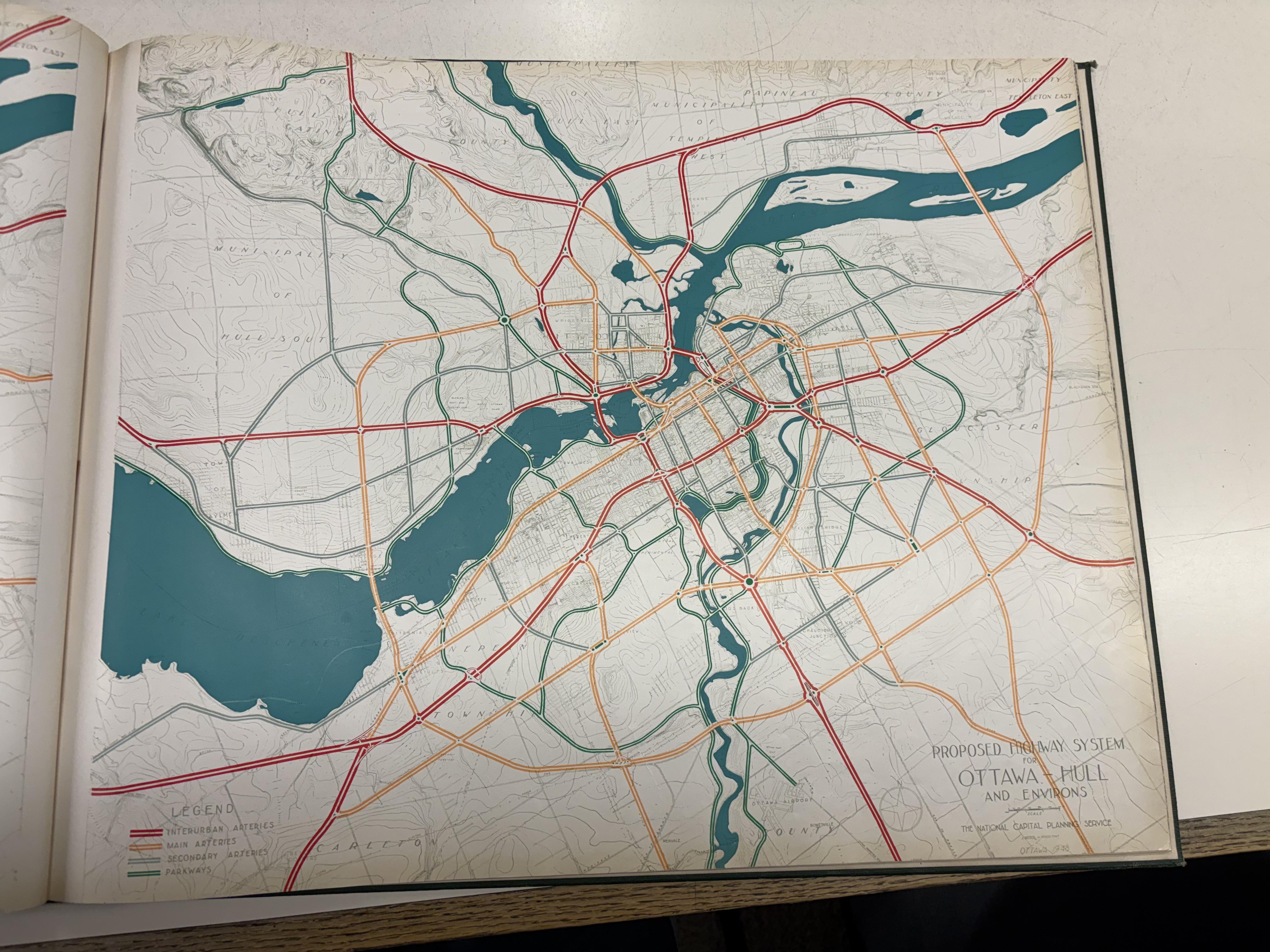
In 1938, Prime Minister William Lyon Mackenzie King brought in a French town planner named Jacques Gréber to come up with a vision for the national capital. The Second World War put the project on hold, and it was picked back up in 1946. By the time Gréber's report landed on November 18, 1949, it ran 300 pages and touched almost every part of how Ottawa would grow for the rest of the century.
Parliament created the National Capital Commission in 1958 specifically to carry the plan out. Not everything in it got built, but enough did that it's still shaping where people live and work in Ottawa today, more than 75 years later.
Rip Out the Rails, Draw a Ring Around the City
Gréber's biggest moves were about untangling downtown from its own railways. He recommended moving the rail yards out to Walkley Road, which freed up roughly 22 acres of prime downtown land and got rid of the rail barriers that had been cutting neighbourhoods in half. In their place came highways and tree-lined parkways, plus new bridges linking Ontario and Quebec the plan that eventually produced the Queensway.
He also pushed federal office jobs out of downtown and onto suburban sites like Tunney's Pasture, and drew up the National Capital Greenbelt: a wide ring of protected land specifically meant to contain the city and stop suburban sprawl from spreading indefinitely.
Why Ottawa's Suburbs Sit Where They Do
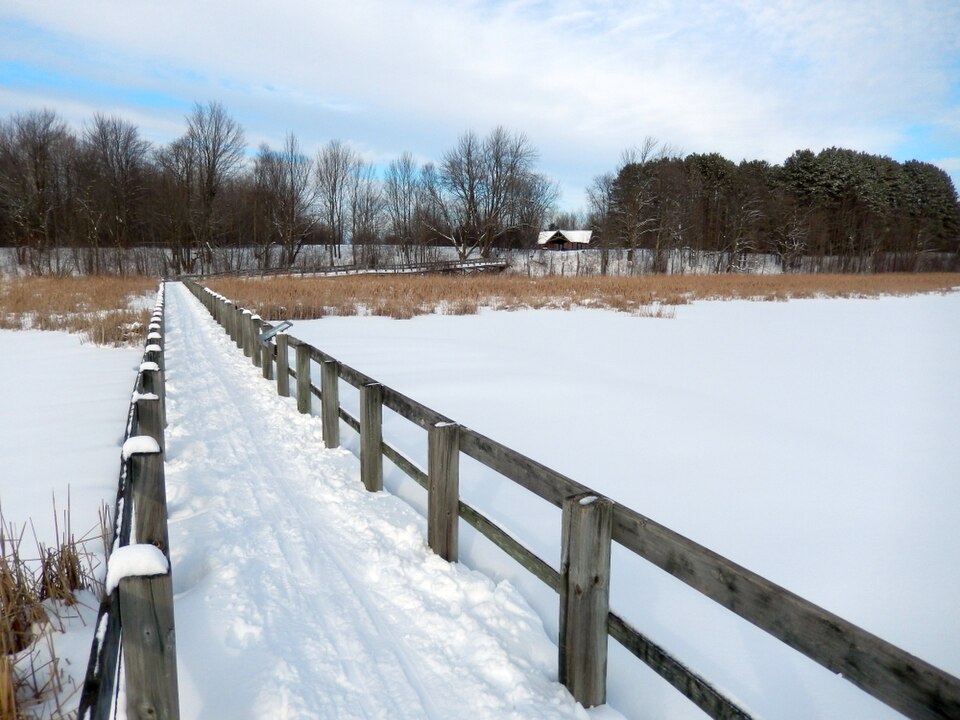
That greenbelt is the real estate story here. By drawing a protected ring of farmland and forest around the core, the plan effectively told developers where they couldn't build which meant everything had to leap over it. It's a big part of why communities like Kanata, Orléans, and Barrhaven grew up as separate rings beyond the greenbelt rather than as one continuous spread of suburbs out from downtown.
The plan's beautification side left just as lasting a mark. The parks, parkways, and public spaces Gréber envisioned gave the capital places like Confederation Park, Major's Hill Park, and the grounds around the National War Memorial some of the most-used green space in the downtown core today. And the vacant industrial land Gréber flagged for cleanup in LeBreton Flats set the stage for one of the biggest, longest-running real estate stories in the city's history, decades before anyone broke ground there.
Where Ottawa Is Headed Next
Ottawa is still writing its next chapter. The city is expanding its urban boundary to make room for roughly 450,000 new residents by 2046, and it's in the middle of replacing its entire zoning by-law to make it easier to build density near transit and in existing neighbourhoods. Seventy-five years after Gréber drew his lines, Ottawa is still deciding, one planning document at a time, where its next wave of growth will land.
The Takeaway
A single 300-page report from 1949 is still drawing the lines that decide where Ottawa grows, three-quarters of a century later. The greenbelt it created protected the green space that still rings the city today, and the downtown land it freed up turned into some of the capital's most-loved public spaces. Not bad for a plan that only ever got partway built.
Ready to start your home buying journey in Ottawa? We'd love to be part of it. Reach out to us at OttawaSelect.ca — we work with first-time buyers regularly and know how to make a process that can feel overwhelming feel completely manageable.